Saranac Street Former MGP Site OU3 Bathymetric Survey
Plattsburgh, NY
Type
Marine
Client
NYSEG
Engineer
Anchor QEA
Date
May 2022
Project Summary
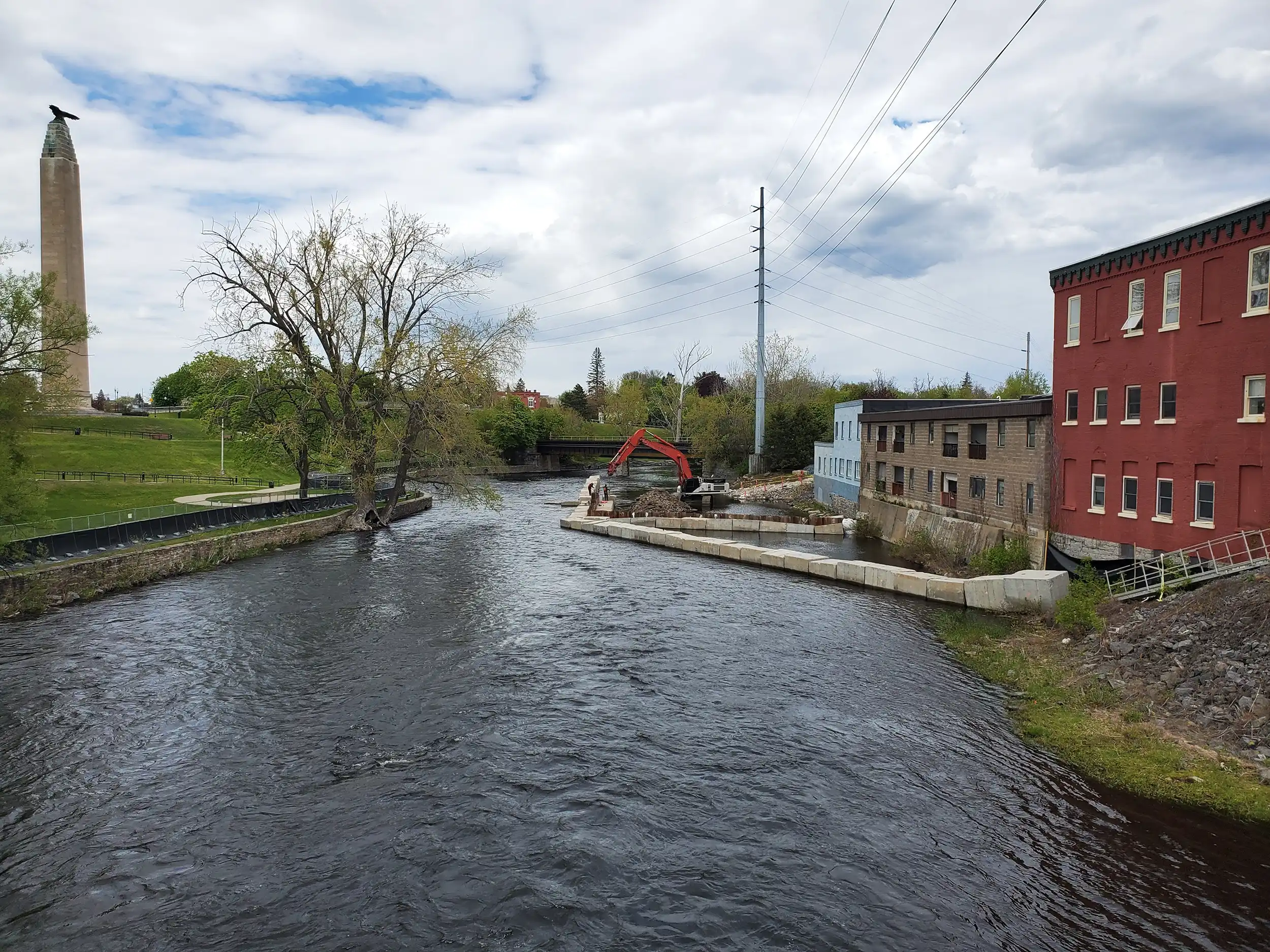
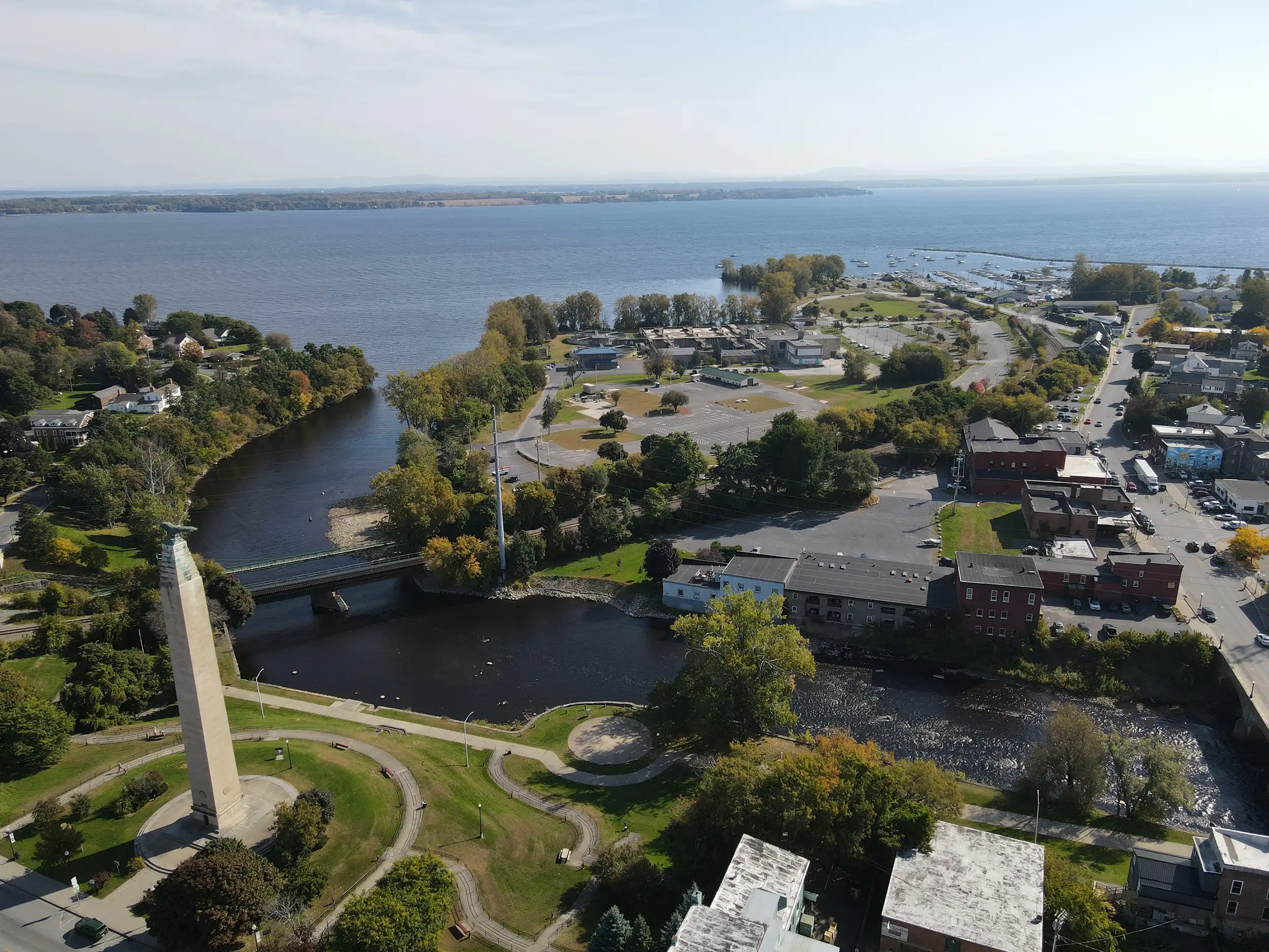
Land Remediation, Inc. (LRI) was contracted to perform hydrographic and topographic surveys across approximately 115 acres of Cumberland Bay on Lake Champlain and 10 acres of the adjacent Lower Saranac River.
LRI’s in-house NSPS Certified Hydrographer and survey team used a combination of multi-beam, single-beam, and GPS-based survey techniques to capture accurate elevation and bathymetric data. About 55-80% of the Cumberland Bay was surveyed using multi-beam sonar from LRI’s survey vessel. Single-beam sonar was used on perpendicular transects every 25 ft, with overlapping coverage for quality control. Topographic data was also collected along the shoreline and throughout the river using a GPS rover.
The work provided a detailed and reliable understanding of existing conditions to inform future planning and design within the designated project limits.