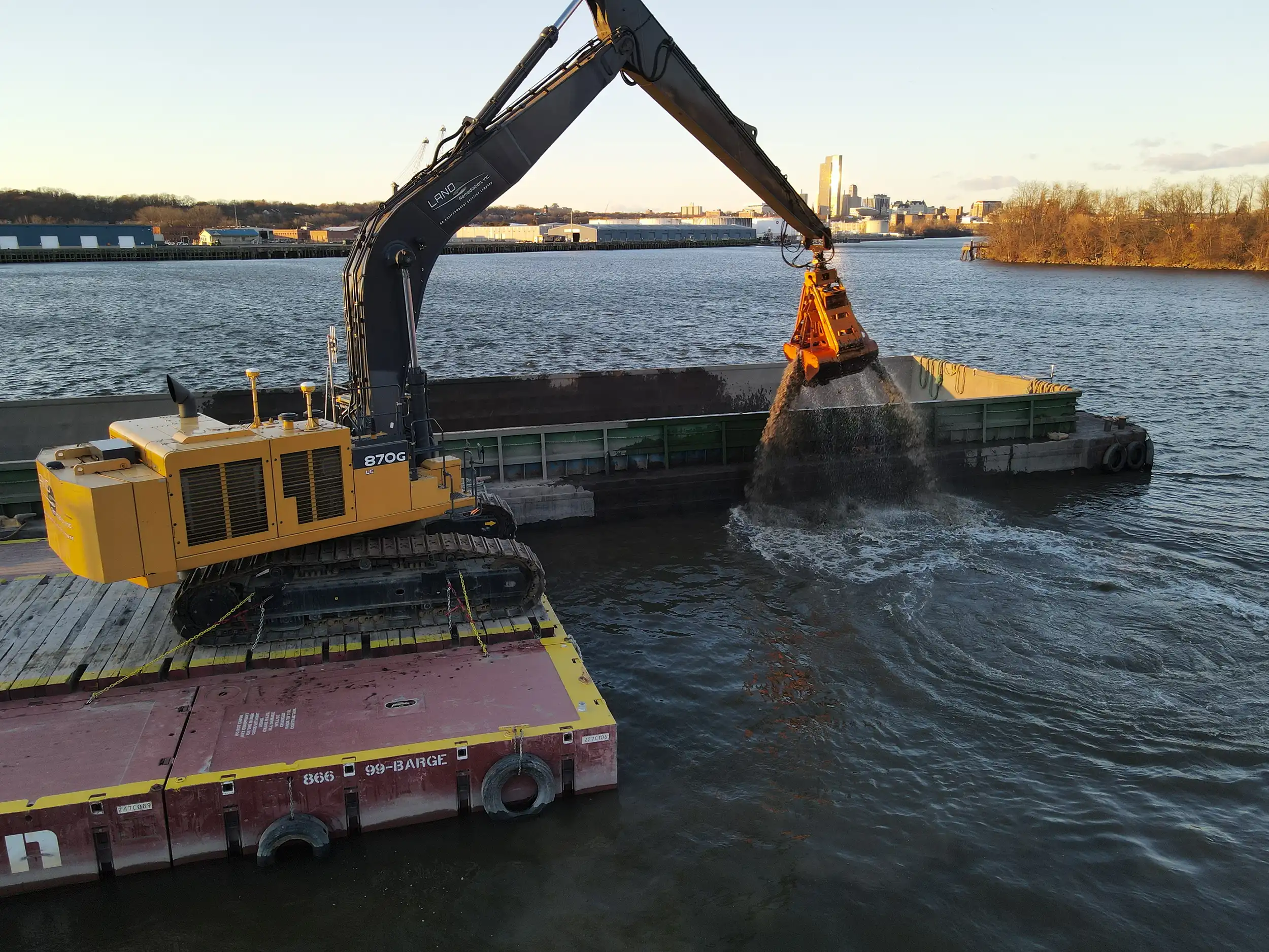
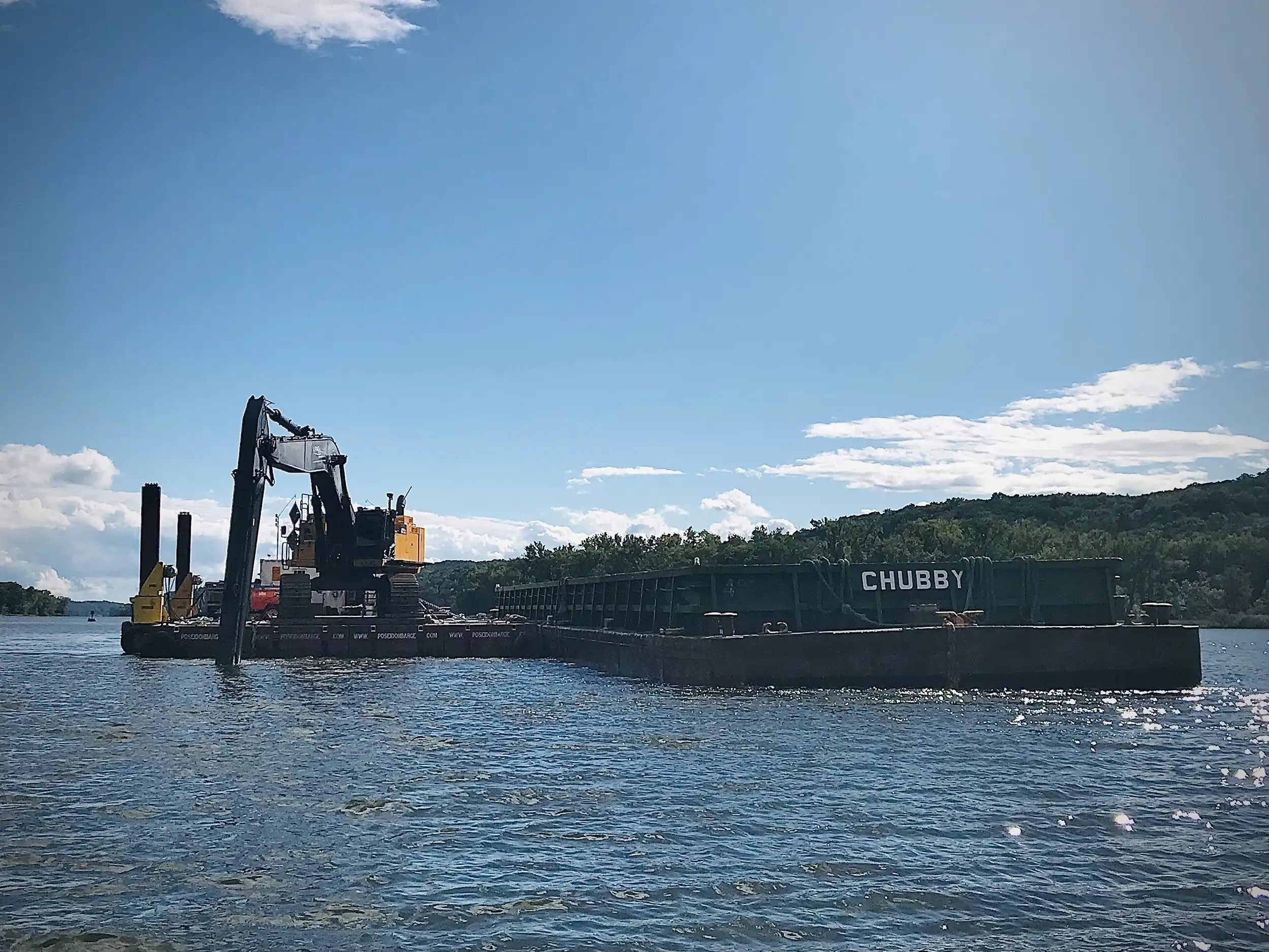
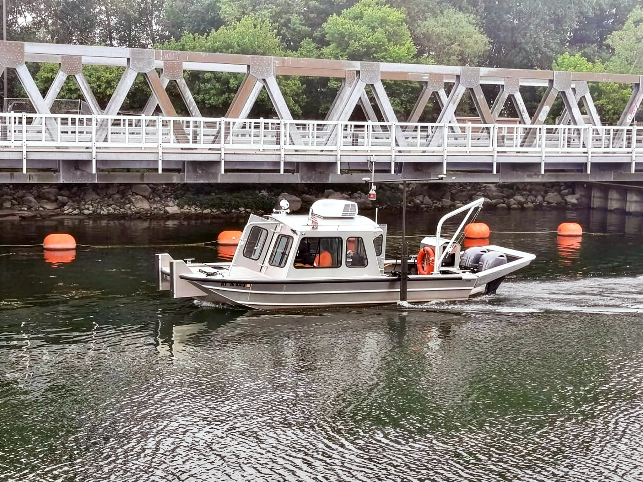
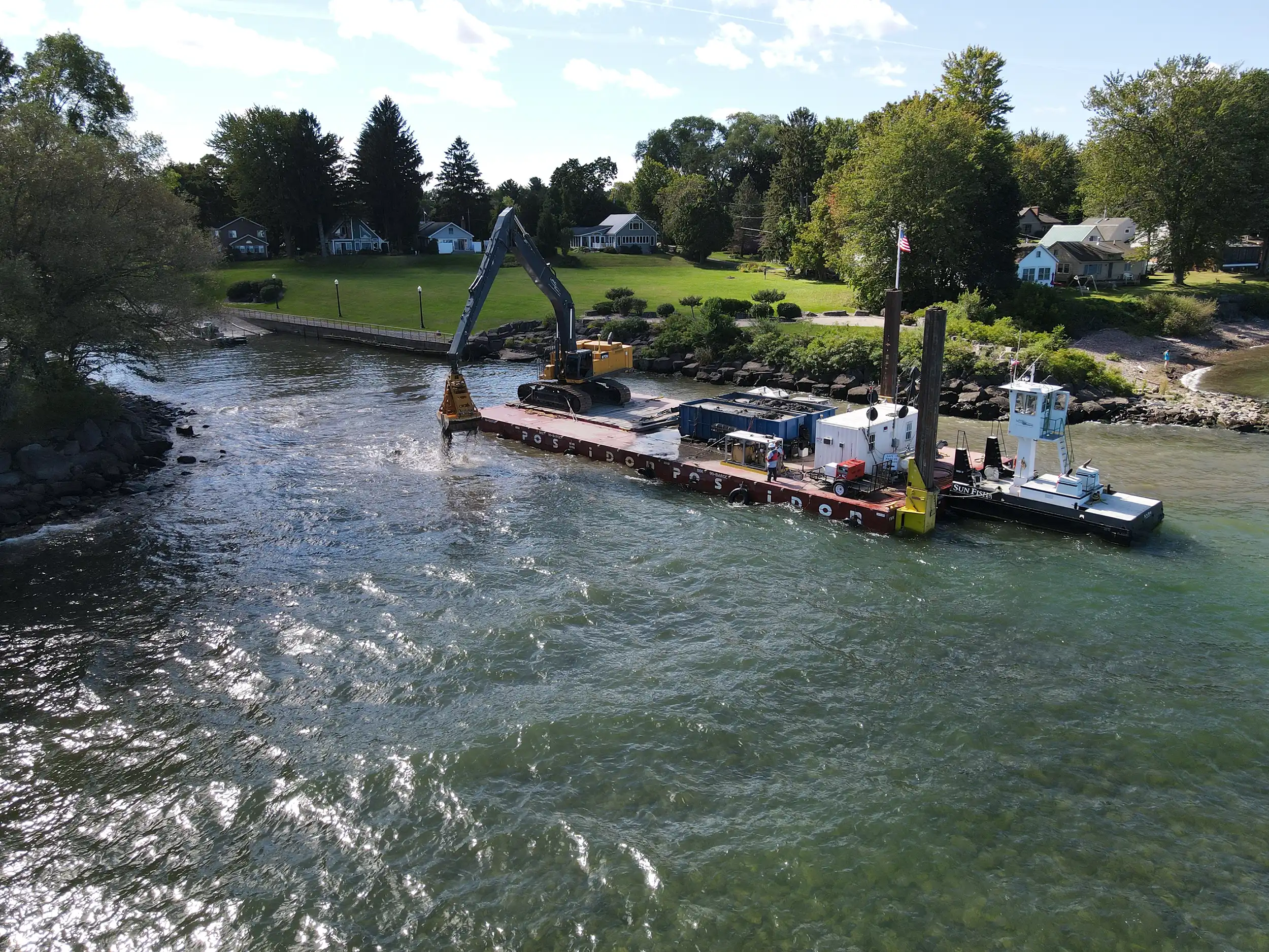
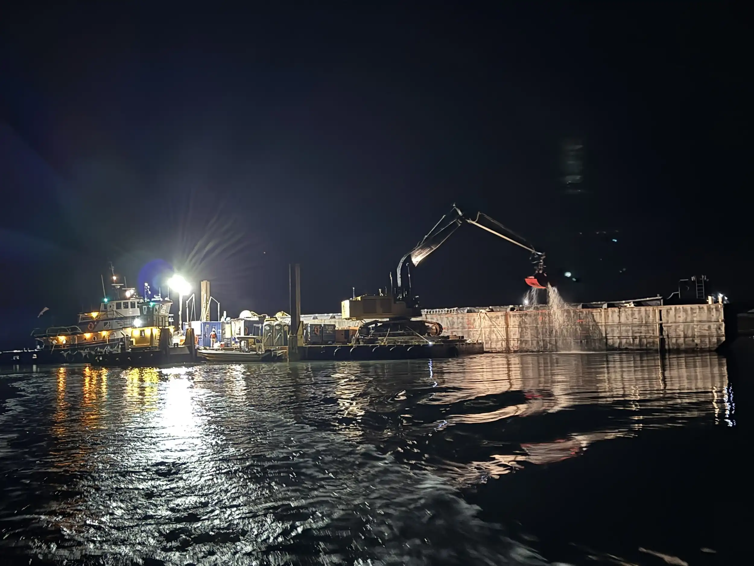
Understanding what lies below the water’s surface is critical before dredging, marine construction, or shoreline remediation can begin. LAND Remediation, Inc. provides professional hydrographic surveying services to map water bodies, assess underwater terrain, evaluate sediment buildup, and support safe, data-driven marine or remediation work. Using advanced technology and a fleet of versatile watercraft, LRI captures accurate depth, shape, and contours of underwater terrain in channels, rivers, lakes, reservoirs, and ocean bays.
Post-processing and geospatial outputs provide engineers and clients with reliable contours, depth-based volume calculations, and three-dimensional bathymetric models to guide dredging, construction, or restoration efforts.
Surveying reduces risk by identifying submerged obstructions, changes in bed conditions, and habitat-sensitive zones before any physical work begins.
LAND Remediation, Inc.’s Advantages
Integrated Remediation + Marine Expertise
Because we perform environmental dredging, sediment remediation, and civil work — as well as surveying — we deliver not just data, but actionable, design-ready survey products aligned with remediation or construction requirements.
In-House Certified Hydrographer
Our survey team led by our in-house NSPS Certified Hydrographer utilize high-resolution multibeam sonar equipment to expertly map shorelines, measure water depths, and collect critical data to support safe, efficient planning for environmental and marine construction projects. LRI’s deliverables are tailored to any dredging, permitting, or construction needs.